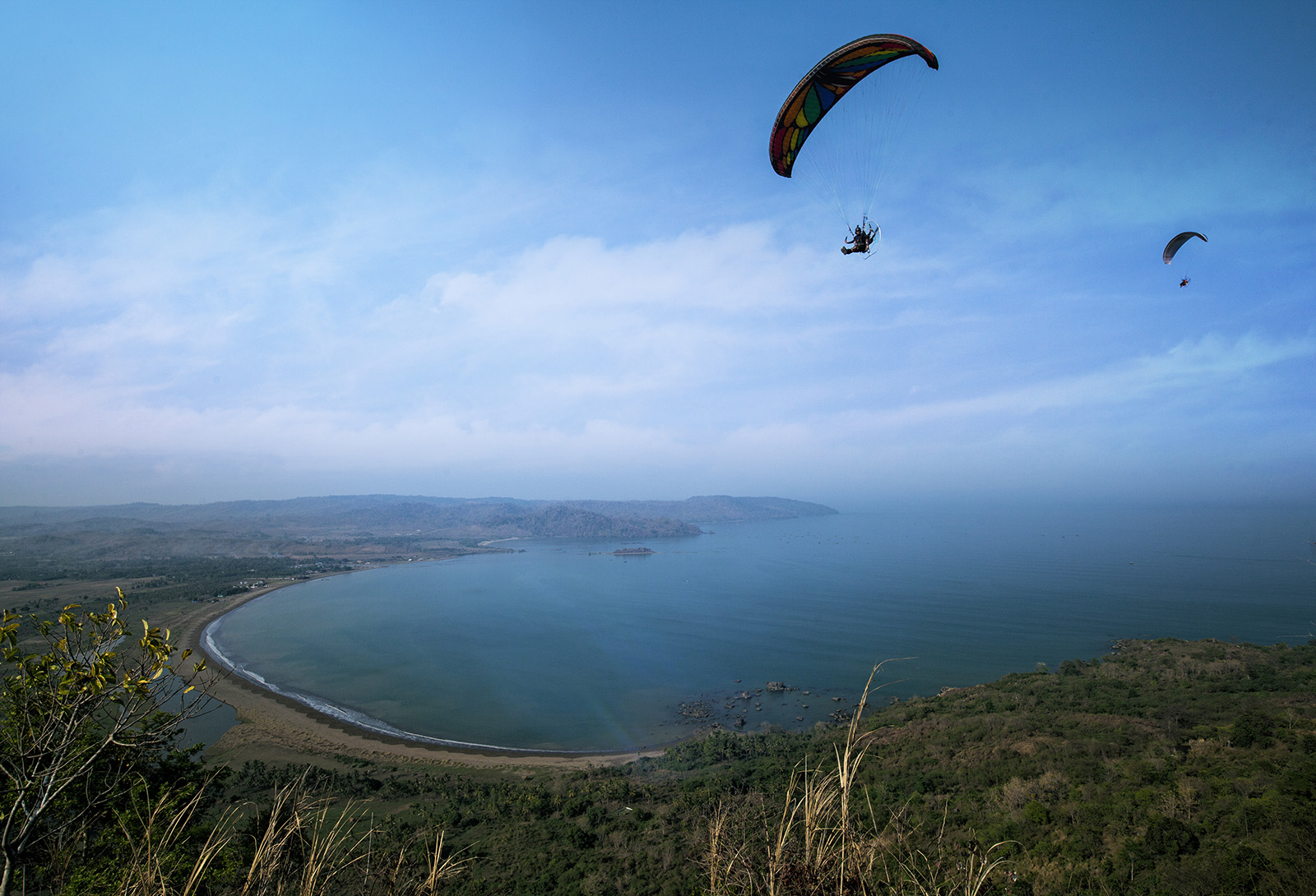
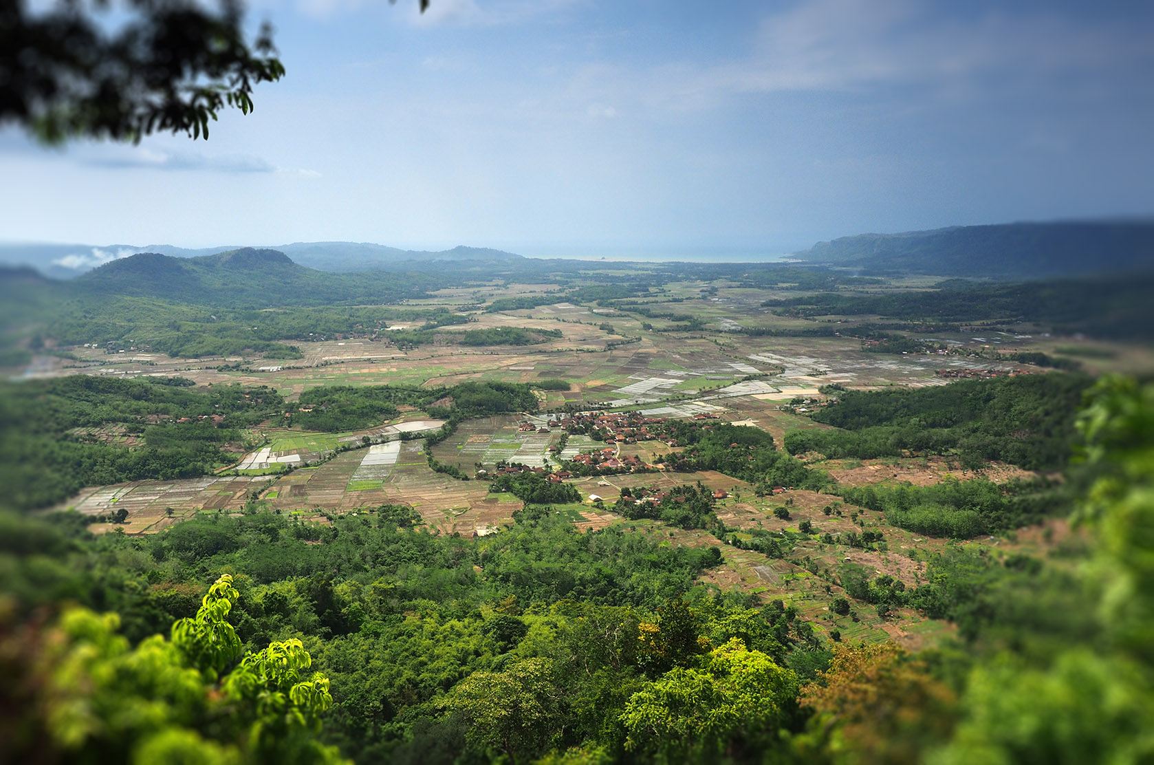
The Ciletuh-Palabuhanratu Geopark has an area of 126,100 ha or 1,261 km2. It spreads over 74 villages in eight sub-districts of Palabuhanratu: Cisolok, Cikakak, Palabuhanratu, Simpenan, Waluran, Ciemas, Ciracap, and Surade sub-districts. The Ciletuh-Palabuhanratu Geopark also includes Cibanteng Nature Reserve, Tangkubanparahu Nature Reserve, Sukawayana Nature Reserve, Cikepuh Wildlife Reserve, and Sukawayana Nature Tourist Park which managed by the West Java Natural Resources Conservation Agency, the integrated military area managed by the KOSTRAD (the Army Strategic Command), the Turtle Conservatory in Pangumbahan, the area of RADAR TNI-AU station in Tanjung Ujunggenteng, the shrimp-farming in Mandrajaya and Ujunggenteng, batik village in Purwasedar and some parts of the Mount Halimun Salak National Park. The southern area of the geopark, especially the Ciemas Sub-district, has a plateau which resembles a horseshoe (amphitheater) which opens towards the Ciletuh Bay. The shape of this amphitheater has a diameter of more than 15km, so it is believed to be the largest natural amphitheater area in Indonesia. In the center of the amphitheater there is the oldest rock in West Java called complex mélange Ciletuh that consist of ophiolites formed by the collision between oceanic crust and continental crust during The Cretaceous more than 65 million years ago. The mélange and ophiolite rocks consist of peridotite, gabbro and basalt lava, metamorphic rocks in the form of green schist, serpentinite and amphibolite, and also sedimentary rocks such as quartz sandstone - conglomeratic (Ciletuh formation). The mélange was deposited in the deep oceanic trench, and then uplifted to the surface to its current position. The mélange and ophiolite rocks in the Cikepuh complex are very special, unique, rare and referred to as the tectonic fossils. Schiller carried out the dating of several rocks in the Ciletuh complex in 1999. Gabbro in Sodongparat are between 51 - 56 million years old. The granitic component in the sandstone of the Ciletuh formation is 134 million years old, while the basalt component in the mélange is known to be 89.6 million years old and the andesite on the Kunti Island are 22.4 million years old. The erosion and aberration processes that occur in the Ciletuh formations produce unique rock forms that resemble various animal shapes such as rhinos, turtles, frogs, Komodo dragons, bulls, dragons, batik, fences. In the amphitheater plateau, the rocks consist of sedimentary rocks such as sandstone, breccia and lava (part of the Cikarang member of the Jampang formation) the dating of upper oligocene - lower miocene is around 25 - 15 million years which are deposited in the marine environment. The rock then undergoes a tectonic process (normal fault), resulting in a very large landslide and forms like a horseshoe-shaped area which became known as the Ciletuh amphitheater. As evidence of this fault process is the existence of a number of waterfalls along the amphitheater walls such as Awang Waterfall, Cimarinjung Waterfall, Sodong Waterfall and others as well as triangular shaped facets on several amphitheater cliffs. The initiation of the formation of the Ciletuh-Palabuhanratu Geopark was based on five important components, namely the academics representing elements of universities and research institutions / institutes; the community represents the people who live and reside in the area; the government includes elements of government from the lowest level in the village to the governor and the central government under the ministry; the entrepreneurs representing the BUMN and private sectors; and mass media as promotional media. The five components have the same vision and mission in conserving natural resources and improving the economy of the surrounding community. The development of the Ciletuh-Palabuhanratu Geopark program is carried out in an integrated manner between the local community, the Sukabumi Regency Government, the West Java Provincial Government, BBKSDA (the Natural Resources Conservation Agencies), Padjadjaran University, the Geological Agency, and Biofarma. The Ciletuh-Palabuhanratu Geopark Management Agency has also been formed. The Management Agency carried the task of designing and supervising the programs carried out in the geopark, such as conservation, education, and community empowerment in line with the geopark motto. The Ciletuh Geopark was designated as a National Geopark by the Indonesian National Geopark Committee (KNGI) together with the Indonesian National Commission for UNESCO (KNIU) on December 22, 2015. The geopark expansion and name change to Ciletuh-Palabuhanratu were confirmed by the same committee on June 21, 2016, with the theme “Subduction Zone Rock Uplift, Early Magmatic Zone Shift and Fore Arc Evolution”.


