
Description
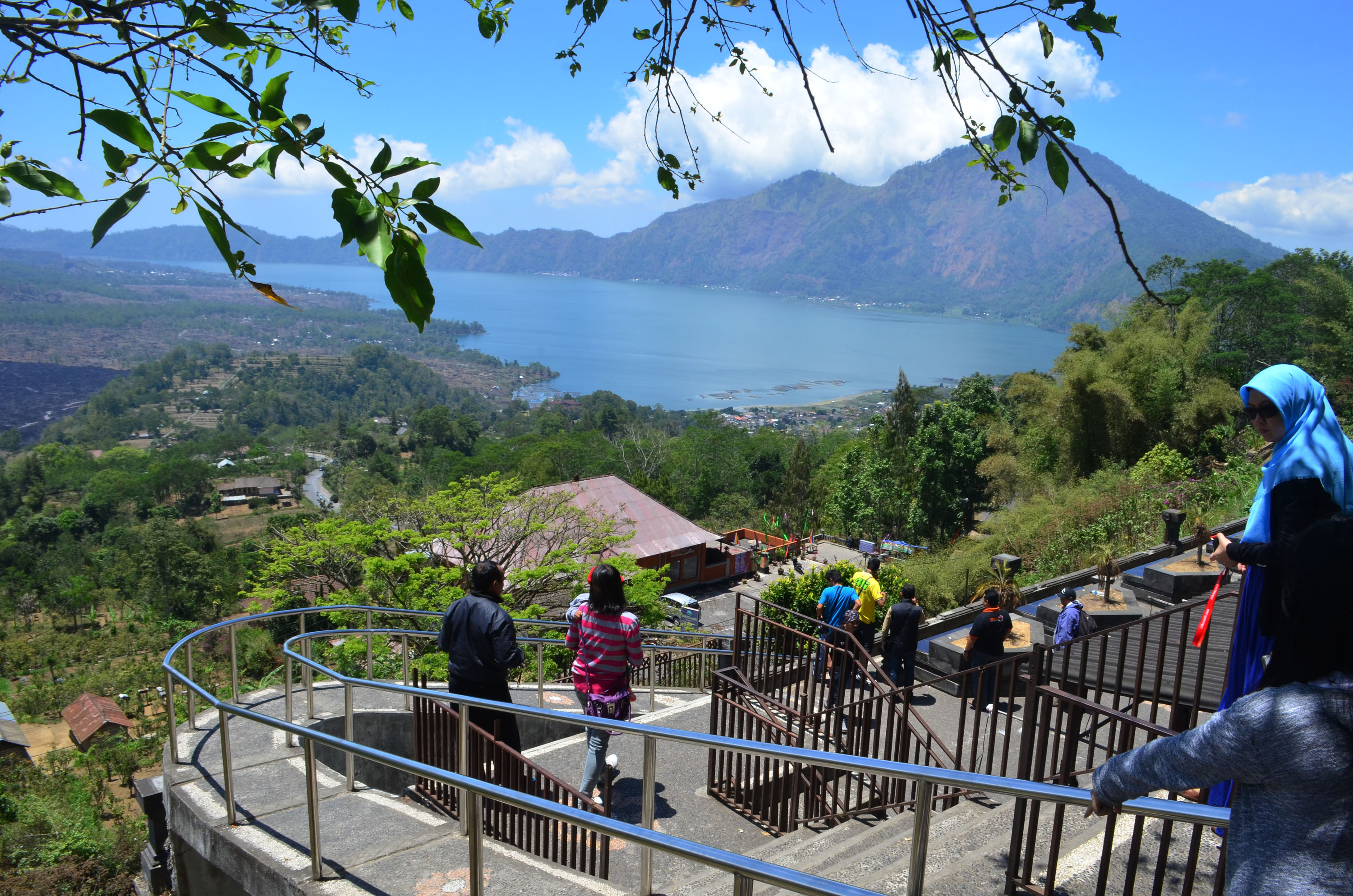
Batur UNESCO Global Geopark is located in northeast Bali, the most popular international tourist destination in Indonesia. It covers an area of 370.5 km2, at an altitude of 920-2152 m a.s.l., the outer-caldera wall surrounds the inner-caldera wall, Mt. Batur and the lake. Most of the Natural Tourist Park of Mt. Batur dan Payang Hill, is a protected forest area included in the UNESCO Global Geopark area. Batur UNESCO Global Geopark includes two volcanic calderas and presents a complete volcanic landscape with caldera walls, cones and craters, geothermal phenomena (fumaroles, hot springs), a lake, lava flows, pyroclastic flows and tephra. Two cataclysmic eruptions that occurred 29,000 years and 20,000 years ago produced an outer-caldera (old) and inner-caldera (young), respectively, from which the grand landscape scenery originate. Between the years 1804 and 2000, Mt. Batur erupted at least 22 times forming a strato-volcano which is one of 127 active volcanoes in Indonesia, and an important component of the Pacific “ring of fire”. The phenomenon of double-calderas with a crescent-shaped volcanic lake (7 km long, 1.5 km wide) and located 1,031 m a.s.l. was called the finest caldera in the world. The uniqueness of the area’s geology of volcanic origin, endemic flora and fauna, and original culture motivated by the Balinese Hindu religion is a perfect combination of different heritages of the Earth.